We know as pilots it can be a challenge to make the right decision. Sometimes our struggles relate to not having the necessary resources and information to help us improve situational awareness. When it relates to how the weather may impact our flight there might not be weather reporting available for the en-route portion or at the destination, making preflight “go/no-go” decisions particularly difficult. “One of the challenges in point-to-point low altitude operations where you cannot operate over top of the weather, are weather conditions between the approved weather sources pilots use for flight planning decisions,” said Thomas Judge, Executive Director, LifeFlight of Maine/The LifeFlight Foundation.
Fortunately, there is an invaluable tool easily accessible online which often goes unchecked. It is the FAA Weather Camera Program. The Weather Camera Program started in Alaska in 1998 after the agency determined aviation accidents in Alaska were resulting from a lack of current adequate weather information.
As the program matured and empirical data came in, the weather camera service across the State of Alaska assisted in an 85% reduction in weather-related accidents and a 69% reduction in weather-related flight interruptions from 2007-2014. Did you know the Program currently owns and maintains 244 camera systems in Alaska and Hawaii and is continuing expansion into other states? As the demand for weather cameras grew, but with limited resources at hand, the FAA turned to third parties such as state DOTs for help. The plan was for third party entities to fund the camera sites, while the FAA would host all of the images on the Weather Cameras website. The Weather Camera System now hosts camera images from 280 non-FAA-owned weather cameras sites in Alaska, Colorado, Maine, Michigan, Mississippi, Montana, Utah, and across Canada (over 200 courtesy of NAV Canada).
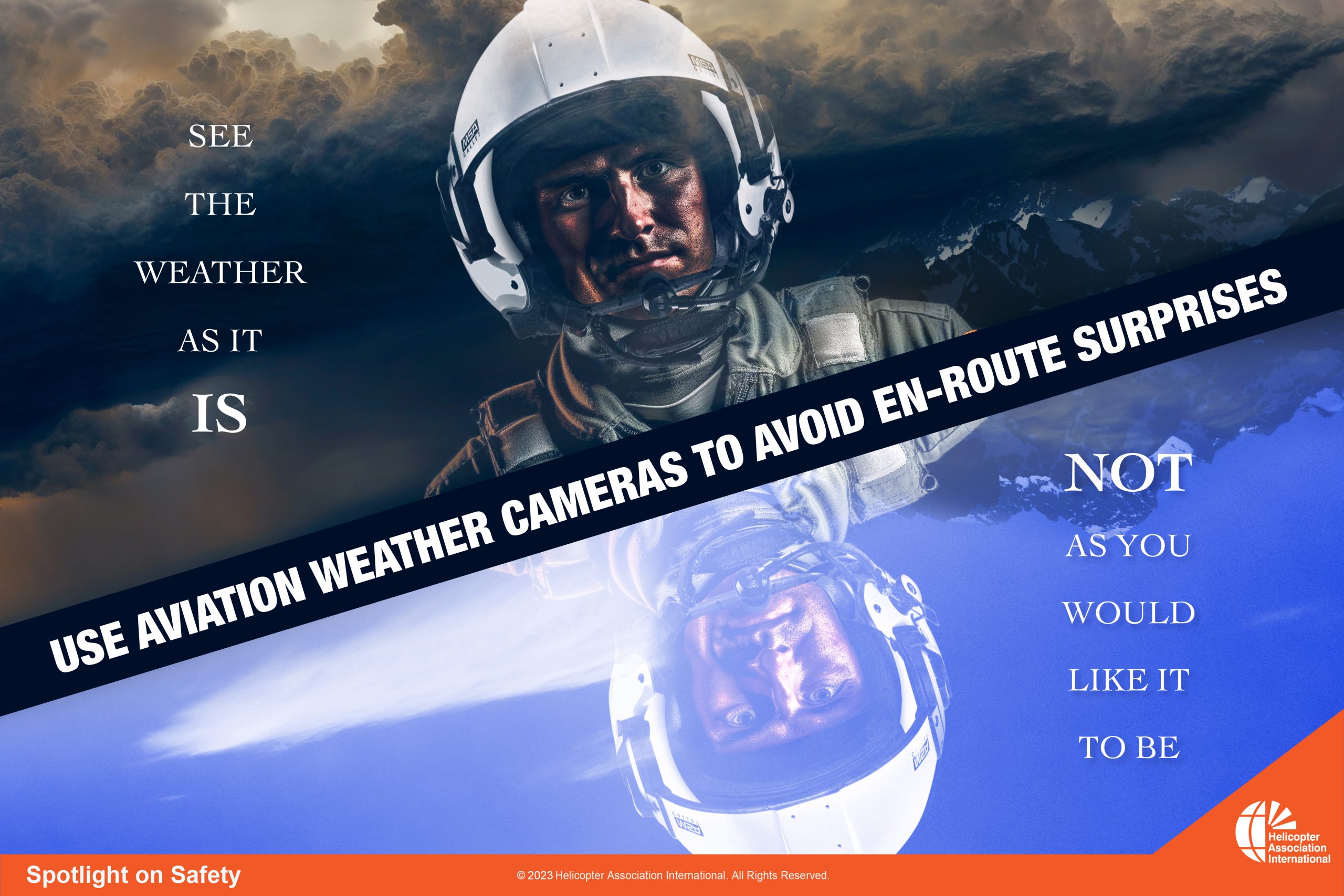
Each weather camera site typically offers views in the four pilot requested directions, with each of the images refreshed every 10 minutes. For reference and validation of image accuracy, a clear day view of each image is also shown. A time lapse loop covering the previous six hours is also included for each image. In addition, the weather camera program website offers additional information valuable for flight operations, a complete list of camera sites, and instructions and tutorials on how to use the site. “Weather Cameras have been absolute game changers for us. We no longer subscribe to the “fly out and take a look mentality”. The weather camera program allows us to make go/no-go decisions with confidence. They continually save us both time and money. We can make an operational decision about a flight without burning fuel, without putting maintenance cycles on our aircraft, and more importantly without putting our pilots and aircraft out in potentially adverse weather conditions,” said Joel Kain, Director of Safety, TEMSCO Helicopters. No matter how hard and thoroughly we plan and prepare, there is the risk that the weather will not cooperate. Don’t let the weather ruin your next flight because we did not have all the relevant information. See the weather as it is, not as you would like it to be! Use aviation weather cameras to avoid weather surprises.
Visit the website before your next flight: https://weathercams.faa.gov.